
Tottori Sand Dunes facts at a glance
The Tottori Sand Dunes are coastal dunes on the Sea of Japan in the city of Tottori, in the east of Tottori Prefecture. The part most visitors walk is only a section of a much larger dune landscape. This page collects the facts behind the postcard view: how the sand arrived, how big the area is, what Umanose is and how the open sand is kept open.
If you are planning a visit rather than reading up, start with the best time to visit and the getting there page.
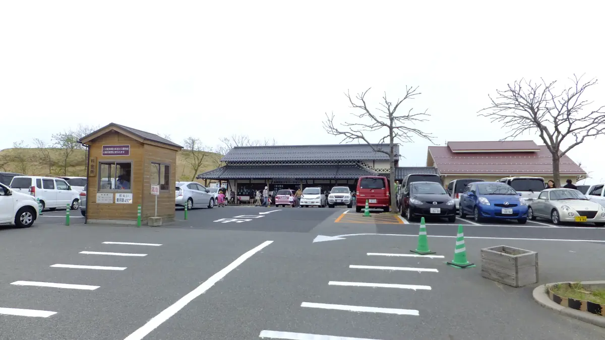
How the Tottori Sand Dunes formed
The sand begins as weathered rock in the Chugoku mountains. The Sendai River (千代川, not the city of Sendai) carries it down to the sea. Waves then bring it back onto the shore, and wind blows it inland. The winter northwest monsoon is the main driver, which is why the ridges run across its direction.
Umanose and the three dune ridges
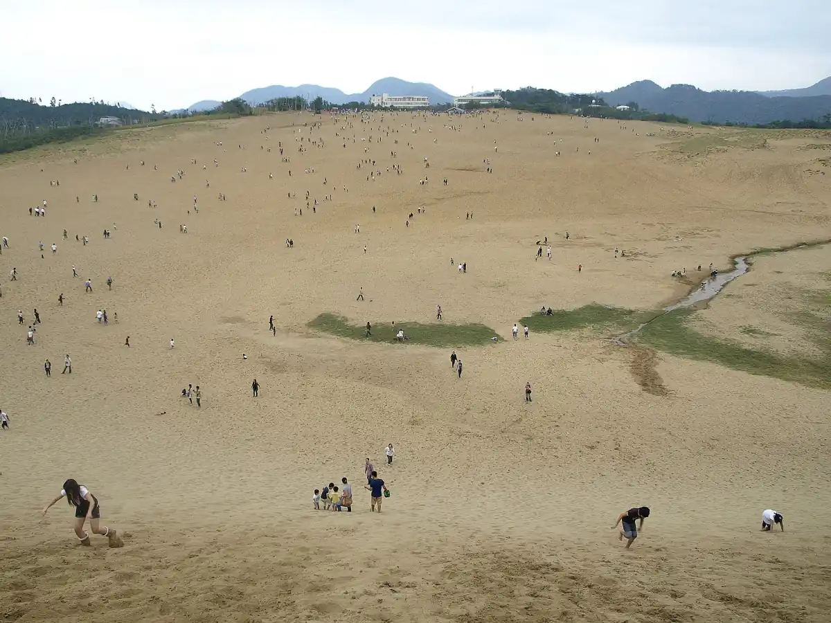
The Geopark describes three rows of dunes lying across the winter wind. Umanose (馬の背, "horse's back") is the second row and is given as roughly 47 m above sea level. That is the height of the ridge above the sea, not the climb from the car park, so do not read it as a stair count. Wind also draws ripples in the sand, and these patterns change constantly, so no particular pattern can be promised for your day.
Umanose is the viewpoint most people walk to. A chairlift from the Sakyu Center exists, but it does not take you onto Umanose; see the activities page for the figures.
Our pick: a guided dune walk
A guide on the sand helps you make sense of the figures on this page, and the visitor center stop adds background.
Hand-picked tours, booked through GetYourGuide. Prices are indicative starting prices in US dollars (as of October 2026). Tap a tour for live availability and the current price in your currency.
A guided walk at the dunes
A 1.5-hour guided walk that includes a visit to the Visitor Center, a practical way to hear how the dunes formed and are looked after.
How big are the dunes
The prefecture gives the dune landscape as 16 km from east to west and 2.4 km from north to south, divided into the areas Fukube, Hamasaka, Koyama and Suetsune. The usual tourist area lies in part of the Hamasaka dunes. It is not one continuous bare stretch of sand, so the headline figures say little about how far you will walk.
Size claims depend on how the area is defined, so treat superlatives with care. For a plan on the ground, the Visitor Center is free and open from 09:00 to 17:00, and the dunes themselves are free to enter day and night.
Is it a desert?
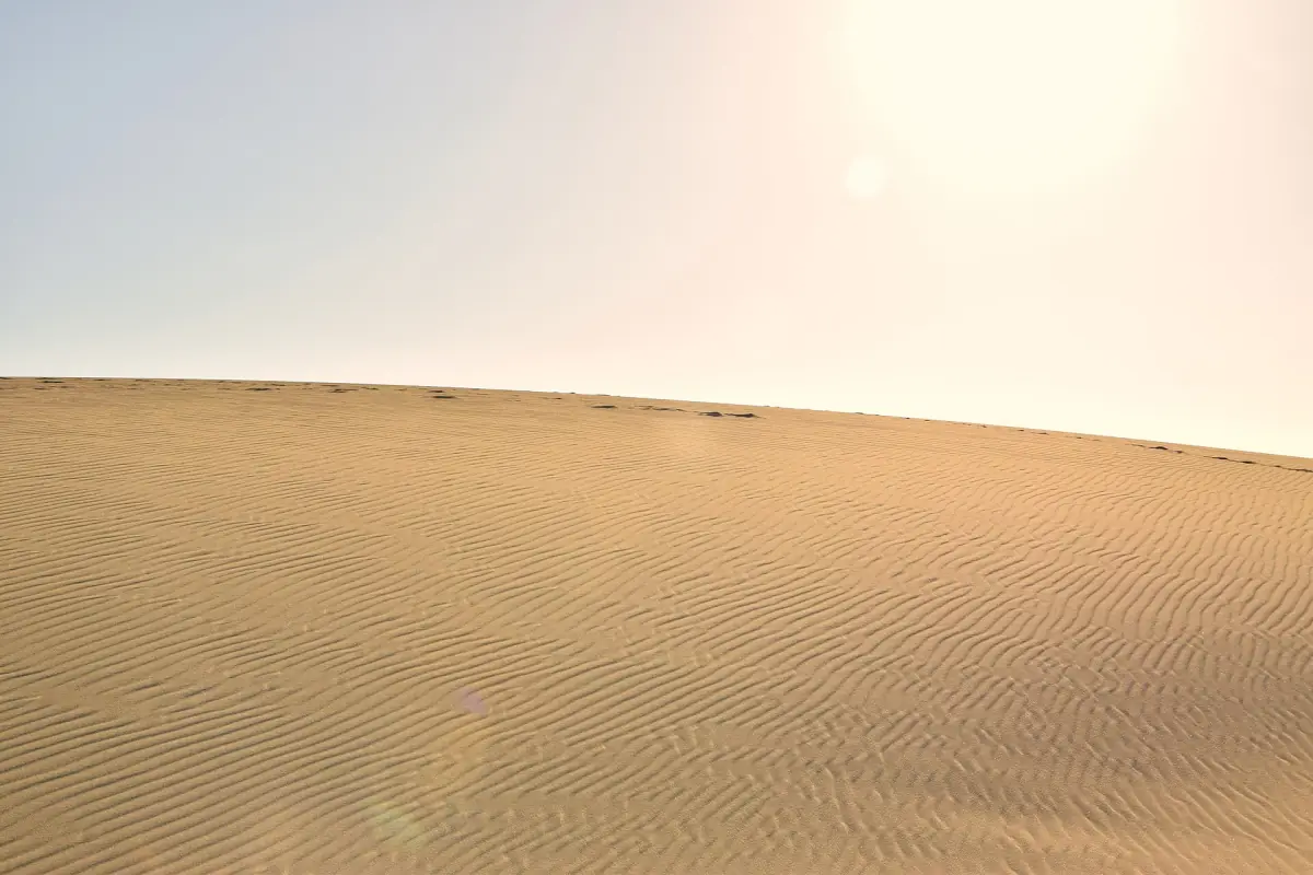
No. Searches for "Tottori desert" are common, but the dunes are a coastal dune system shaped by a river, waves and wind. The open sand is also not a purely natural state: it is actively kept open, as the next section explains. Treat the desert label as a figure of speech.
Tottori Sand Dunes history: planting and clearing
After the war, from 1948, larger protective plantings began to slow drifting sand, secure farmland and protect settlements. Less moving sand also let plants spread. From 1972 part of that protective forest was removed again, from 1994 came large public weeding efforts, from 2004 volunteers joined in, and from 2006 an adopt-a-plot approach followed. These are historical milestones, not current figures for area or participants.
The aim today is to keep the open sand landscape. That is why the rules matter: nothing may be written or drawn in the sand, litter and dog waste must be taken away, dogs stay on a leash, and sand may not be taken home. See the rules in the overview and the Sand Museum page for the sculptures made from sand.
National park, natural monument and geopark
The dunes were designated a national natural monument in 1955. They lie within the San'in Kaigan National Park, which has had national park status since 1963 and was a quasi-national park from 1955. Within it, 131 ha are a special protection zone. The national park covers a coastal stretch of roughly 75 km.
The San'in Kaigan Geopark joined the Global Geoparks Network in October 2010 and was extended in September 2014. It is a larger and separate area from the national park and spans parts of Kyoto, Hyogo and Tottori prefectures; its themes include the opening of the Sea of Japan, rocks, coastal landforms and local life. The two should not be treated as the same area. The coast to the east is covered on the Uradome Coast page.
Tottori Sand Dunes facts: frequently asked questions
How were the Tottori Sand Dunes formed?
Rock of the Chugoku mountains weathers into sand, the Sendai River carries it to the sea, waves return it to the shore and the wind moves it inland.
How big are the Tottori Sand Dunes?
The prefecture gives 16 km east to west and 2.4 km north to south for the whole dune landscape. The area most visitors walk is only a part of it.
Is Tottori Sand Dunes a desert?
No, it is a coastal dune system, and the open sand is actively maintained rather than left alone.
How high is Umanose?
Roughly 47 m above sea level. It is the second of three dune rows.
Are the dunes protected?
Yes. They are a national natural monument since 1955, lie in the San'in Kaigan National Park with a 131 ha special protection zone, and belong to the San'in Kaigan Geopark.